You are using an outdated browser. Please upgrade your browser to improve your experience.

Hurricane Terminology 101
As hurricanes develop in the Atlantic Ocean, understanding the terminology meteorologists use to describe them can help you assess their risks and make informed decisions. For Florida homeowners in particular, understanding the language used during hurricane season can make the difference between being prepared and being overwhelmed.
Whether you’re new to the Sunshine State or a seasoned Floridian, this guide will help you understand some key terms and concepts associated with hurricanes. We’ll break down the terminology, provide essential tips, and ensure you feel confident in facing hurricane season.
Watches vs. Warnings
Do you know the difference between a watch and a warning? Misunderstanding these alerts could lead to insufficient preparation.

Tropical Storm Watch and Tropical Storm Warning
- A tropical storm watch indicates that tropical-storm-force winds (39–73 mph) are possible in 48 hours.
- A tropical storm warning means those winds are expected within 36 hours. These alerts help you plan and secure your property.
Hurricane Watch and Hurricane Warning
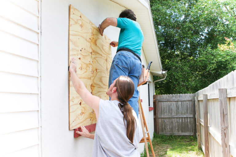
- A hurricane watch means hurricane conditions, including strong winds and heavy rain, are possible within the next 48 hours.
- A hurricane warning indicates those conditions are expected within 36 hours. If a warning is issued, prepare to implement your emergency plan immediately.
Evacuation Zones
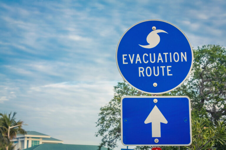
Florida’s evacuation zones are used to advise residents on when and where to leave during a storm. They’re ranked from A (most vulnerable) to F. Be sure to know your zone! Visit Florida Disaster to find it.
Key Hurricane Terms You Should Know
Hurricane
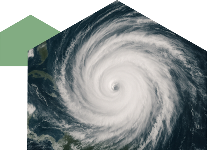
A hurricane forms when sustained winds reach 74 mph or higher. Hurricanes are categorized using the Saffir-Simpson Hurricane Wind Scale, ranging from Category 1 (sustained winds of 74-95 mph) to Category 5 (157 mph and higher). No hurricane is “safe,” but the difference between a Category 1 storm and a Category 5 can be the difference between losing power and losing your whole neighborhood. (See more on the Category system below.)
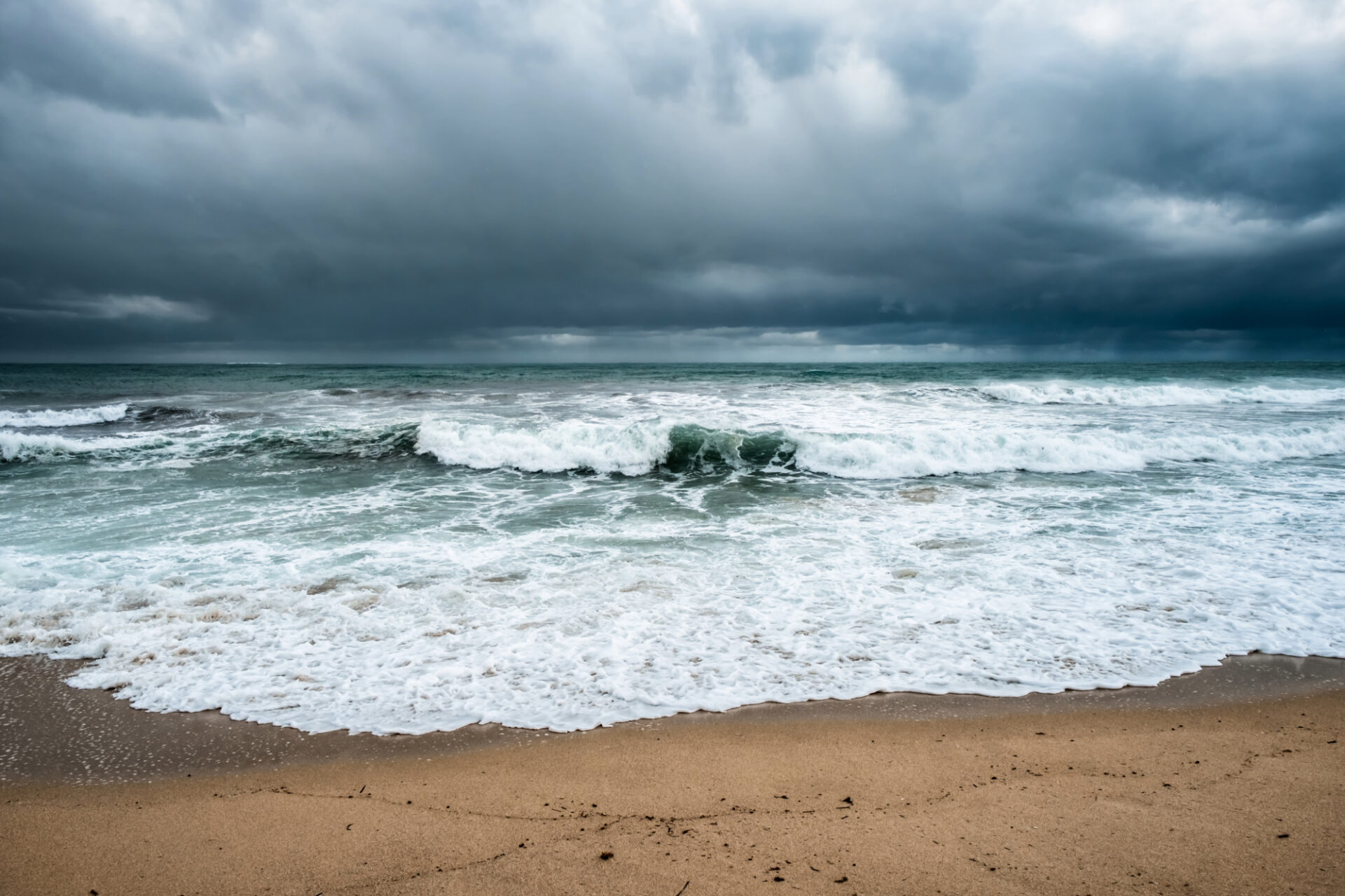
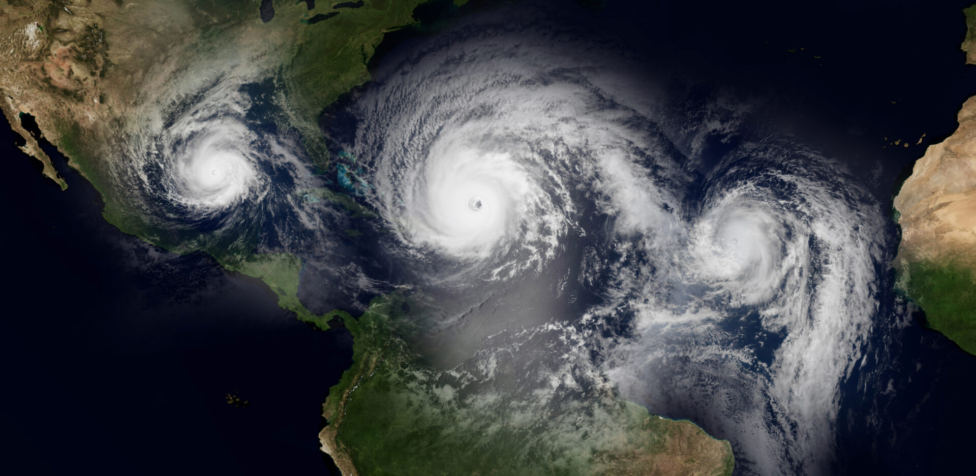
Hurricanes form over subtropical waters and grow stronger as they pull energy from the ocean’s heat. They can develop in both the northern and southern hemispheres, but only within regions far enough away from the equator to experience the Coriolis effect, which enables their characteristic cyclonic rotation. In fact, most people are surprised to learn that hurricanes can’t form at all within 5 degrees latitude of the equator. Look at a map of the over 13,000 tropical storms tracked by the National Oceanic and Atmospheric Administration (NOAA) and you’ll see a wide band along the equator that no storm has ever crossed.
Tropical Wave and Tropical Disturbance
- A tropical wave is a cluster of thunderstorms moving westward in the tropics. While often harmless, these systems can develop into tropical depressions in the right conditions.
- A tropical disturbance refers to organized weather activity that shows potential to grow into a tropical cyclone, which includes hurricanes and tropical storms.

Tropical Depression
A tropical depression is the earliest stage of a developing storm. It forms when a low-pressure system begins circulating, creating a weather system with maximum sustained winds of less than 39 miles per hour (mph). While not immediately dangerous, tropical depressions can escalate quickly into stronger storms, so they should be closely monitored.
Tropical Storm
Once a tropical depression’s winds intensify to at least 39 mph but remain below 74 mph, it becomes a tropical storm. These storms are officially named by meteorologists and can bring heavy rain, strong winds, and the potential for localized flooding. Tropical storms don’t get as much attention, but they can be slow-moving rainmakers that cause flooding, especially if the system makes landfall, so preparation is important.
Extratropical and Post-Tropical Cyclones
As hurricanes move away from warm tropical regions, they often lose their tropical characteristics and transition into extratropical or post-tropical cyclones. This process occurs when the storm enters cooler environments and interacts with colder air masses, changing its structure and energy source. These transitions often cause the cyclone to become asymmetrical and shift its power source from warm ocean waters to atmospheric dynamics. Extratropical and post-tropical systems can still be powerful and pose risks, especially with strong winds and heavy rainfall.
Eye and Eyewall
Let’s look at two important features of hurricane anatomy:
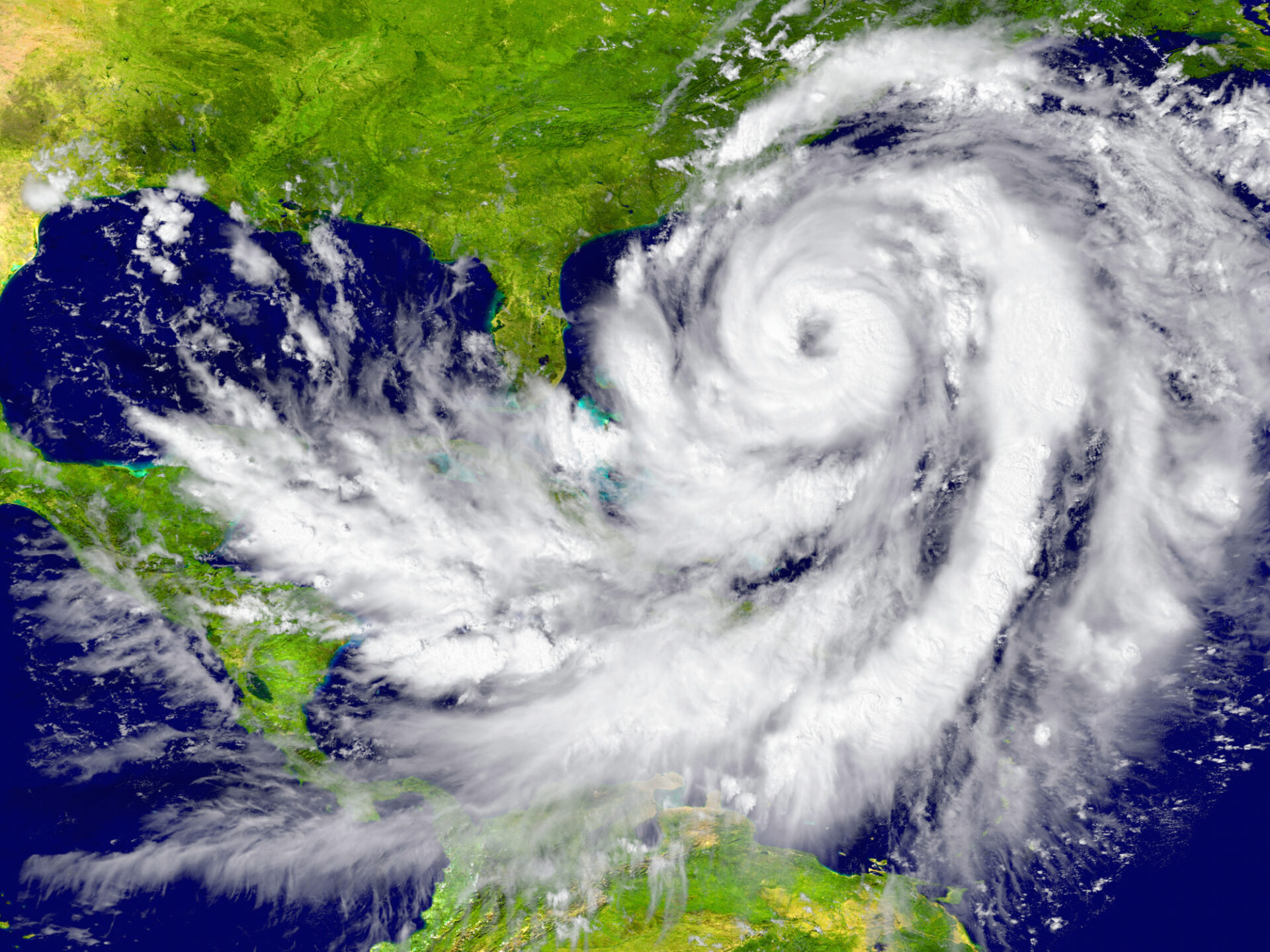
- The eye is the calm center of the storm, often characterized by clear skies and light winds. Passing through the eye of a storm can be a surreal experience, as the dark stormy skies, pounding rain, and whipping fast wind of the hurricane suddenly disappears only to return moments or minutes later. It can create a false sense of safety that you must guard against. Never step outside while you’re in the eye of a storm.
- Surrounding the eye is the eyewall, where the most intense wind speeds and heavy rain occur. This area causes the most damage during landfall. In the northern hemisphere, the most destructive part of the hurricane is typically the area to the immediate right of the eyewall, known as the right-front quadrant or (more colloquially) “the dirty side.” Depending on the storm’s direction during landfall, this section tends to have stronger winds, more turbulent seas, and higher storm surges.
Storm Surge
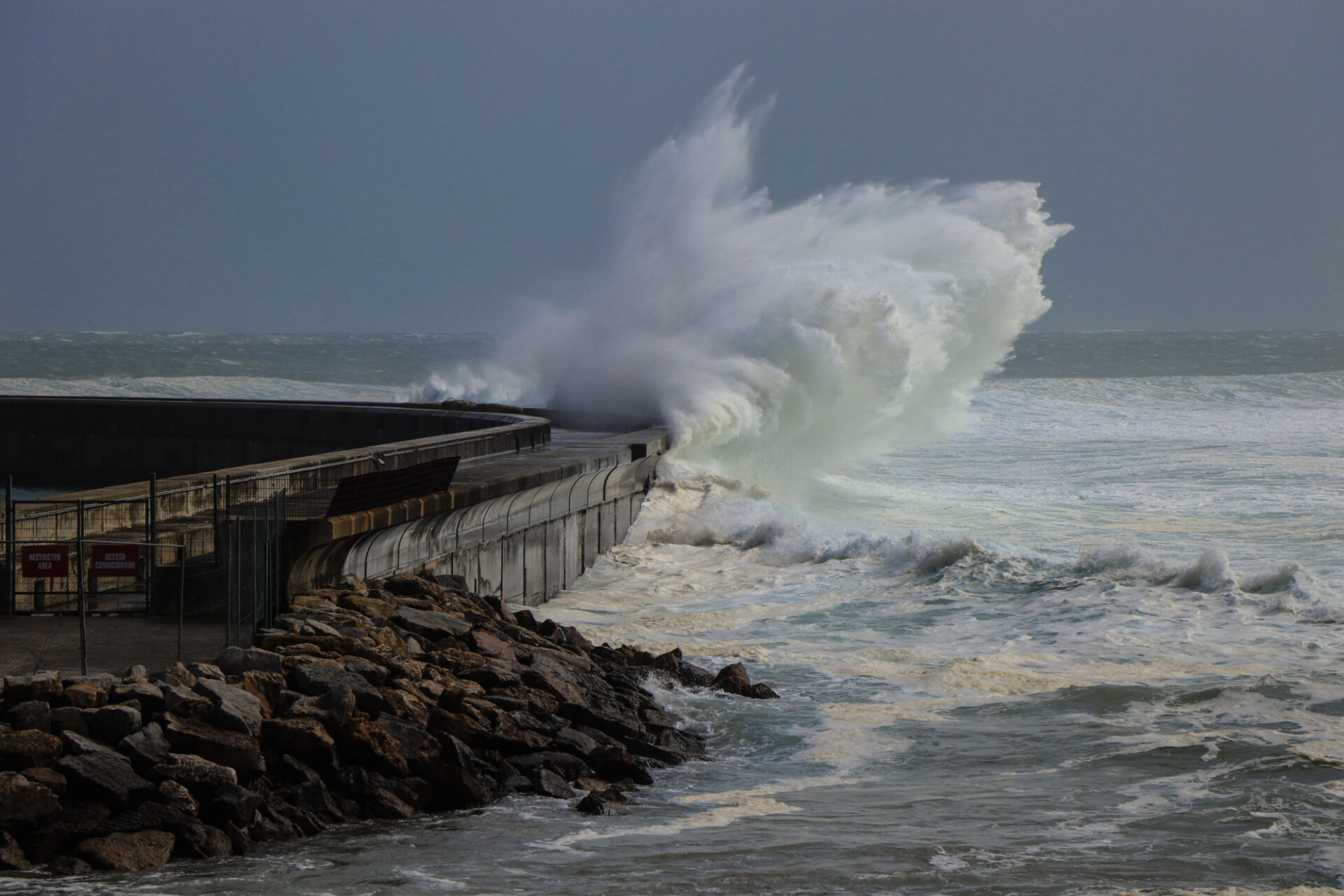
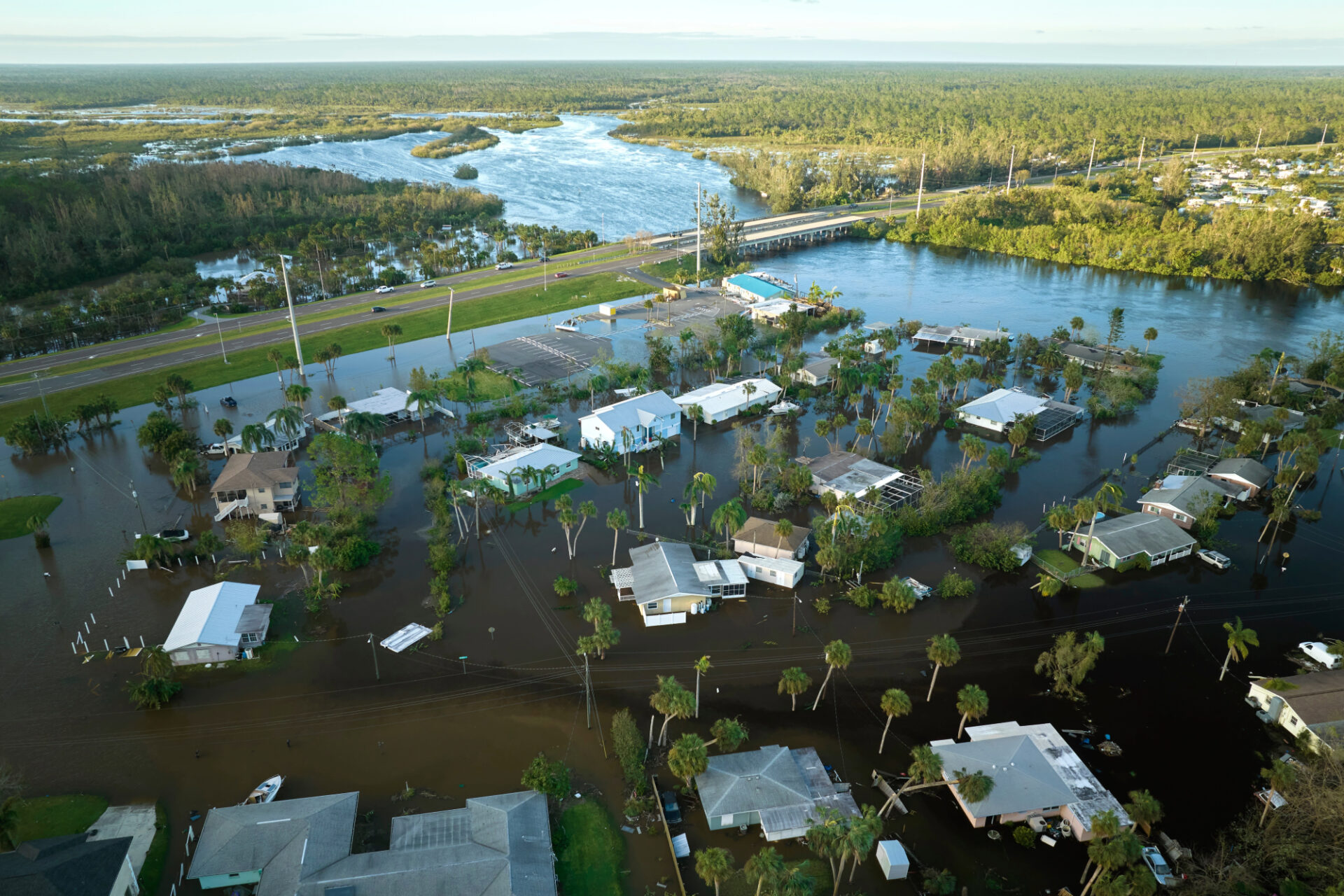
Storm surge is one of the deadliest and most destructive parts of a hurricane. It’s a rapid and abnormal rise in sea level caused by the strong winds and low pressure of a storm system. As the storm approaches the coast, its powerful winds push seawater onto the shore, often raising it several feet above normal tidal levels. This surge can flood coastal areas, damage structures, erode beaches, and pose serious threats to life and property, especially when it coincides with high tide (when it’s sometimes referred to as a storm tide). The severity of a storm surge depends on factors like the storm’s intensity, its speed, the angle of approach, nearby coastal topography, and the shape of the ocean floor near the shore.
Convection
The process of convection plays a significant role in storm formation. It refers to the upward movement of warm air, which cools and condenses to form clouds and storms. This is a key driver for hurricane development.
Landfall
When a hurricane’s eye crosses land, it’s called landfall. This is when the storm’s strongest winds and heaviest rains usually impact coastal areas, leading to extensive damage.
Hurricane Categories and Examples
Hurricanes are ranked based on their wind speeds and potential for damage. Using the Saffir-Simpson Scale, here’s what each category means.
Category 1 (74-95mph): Some Damage
Example: Hurricane Florence (2018, Florida)
Winds in this category can cause damage to homes, particularly to roofs, shingles, and gutters. Tree branches may break, and shallow-rooted trees may topple. There may be limited power outages that last a few hours or days due to damaged high-voltage lines. Coastal flooding and erosion may occur. While the overall impact is typically manageable, even Category 1 storms can still be very destructive, especially because of flooding. Hurricane Florence in 2018 made landfall as a Category 1 but still did $24 billion in damage.
Category 2 (96-110mph): Moderate Damage
Example: Hurricane Frances (2004, Florida)
At this level, hurricane winds can result in moderate damage to buildings, including roof material loss and siding being blown off. Trees often sustain significant damage, with many being uprooted altogether. Extended power outages can occur as utility poles and lines are brought down, complicating recovery efforts. Storm surge may lead to flooding in low-lying coastal areas, causing damage to structures near the shore.
Category 3 (111-130mph): Extensive Damage
Example: Hurricane Wilma (2005, Florida)
Category 3 hurricanes bring destructive winds capable of tearing off parts of roof structures and causing severe damage to small buildings. Large trees are often snapped or uprooted, blocking roadways and making transportation difficult. Flooding becomes more widespread, and life-threatening risks emerge due to heavy rain and storm surges. Infrastructure such as bridges may experience damage, and recovery can take weeks to months in the worst-hit areas.
Category 4 (131-155mph): Devastating Damage
Example: Hurricane Charley (2004, Florida)
At this intensity, hurricanes lead to catastrophic damage that significantly alters daily life in affected regions. Well-built homes may lose most of their roof structures or sustain damage to exterior walls and many homes may be destroyed all together. Trees and utility poles are brought down, isolating neighborhoods and worsening power outages. Flooding and other damaged infrastructure may prevent access to potable water for a time after the storm. Recovery from such hurricanes is often prolonged and requires substantial resources.
Category 5 (156+ mph): Catastrophic Damage
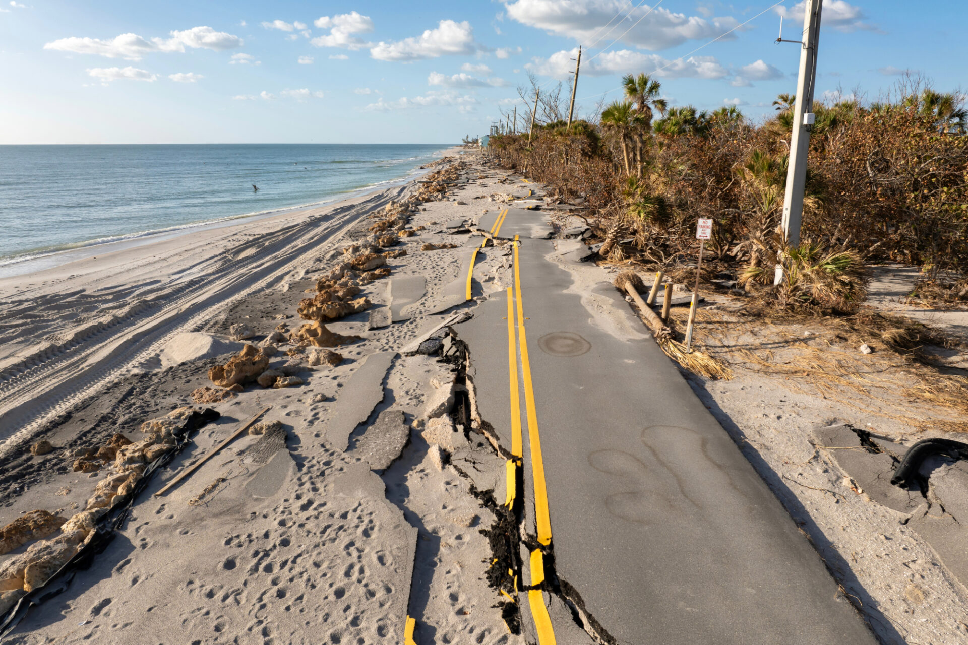
Example: Hurricane Ian (2022, Florida)
Category 5 hurricanes are the most severe and destructive, causing near-total loss of residential areas and critical infrastructure. Buildings are flattened, and areas experience devastating storm surges and flooding, rendering some locations uninhabitable for extended periods. Roads, bridges, and communications networks may be completely obliterated. The affected regions often require years of recovery efforts to rebuild communities and restore normalcy.
How Are Hurricanes Named?
Hurricanes are named to improve communication and minimize confusion. The World Meteorological Organization (WMO) maintains a rolling list of names that rotate every six years. Names of particularly devastating storms, like Katrina or Harvey, are retired to avoid insensitivity. A secondary list is used if more than 21 storms occur in a season.
The Role of the National Hurricane Center
The National Hurricane Center (NHC), part of NOAA, is essential in monitoring, tracking, and predicting hurricanes. Utilizing advanced technology and expertise, the NHC provides critical information, including updates on tropical weather systems, maximum winds, and potential impacts. Their warnings and advisories help governments, emergency responders, and the public prepare for approaching storms.
Be Prepared, Stay Protected

Understanding hurricane terminology can help you react when you hear alerts about storm surge, tropical storm warnings, or major hurricanes. Ensure your home, belongings, and family are protected. Review your insurance policies, secure your property, and make an emergency plan today.
Loggerhead Insurance is here to help Florida homeowners prepare for whatever hurricane season brings. Learn more about how we can support you with insurance coverage by contacting us today.
Frequently Asked Questions
What is the difference between a hurricane, a cyclone, and a typhoon?
Hurricanes, cyclones, and typhoons are essentially the same type of storm, but are labeled differently based on where they occur. Hurricanes form in the North Atlantic, central North Pacific, and eastern North Pacific, typhoons develop in the Northwest Pacific, and cyclones form in the South Pacific and Indian Ocean. The terms are region-specific but describe tropical cyclones with sustained winds of at least 74 mph.
The Pacific Ocean, particularly in the northern hemisphere, tends to witness intense hurricane activity due to its vast expanse of warm water, which fuels these systems. The southern hemisphere also experiences cyclones, though their frequency and intensity can differ due to varying climatic and oceanic conditions.